
Hidden Rails and Hill Country Trails
Exploring the new Palo Pinto Mountains State Park
Story and photos by Matthew Renfro
Every schoolchild in the United States learns about the transcontinental railroad that connected the country from east to west. The endeavor took nearly six years and involved laying roughly 1,912 miles of track. Modern Americans who have moved railroad ties for backyard projects can only begin to fathom the amount of work it took to complete such a feat.
What most people don’t know, though, is that just two years after the Golden Spike was driven, Congress chartered the Texas and Pacific Railway to build a southern transcontinental route. By 1880, just 11 years after the first route was completed, crews were pushing that line through Palo Pinto County, where one of the more difficult landscapes they had to traverse was the Palo Pinto Mountains.
Palo Pinto Mountains State Park began welcoming visitors in March of this year, with Gov. Greg Abbott participating in the official ribbon-cutting ceremony on April 10. The 4,871-acre park became North Texas’ first new state park in more than 25 years. It extends mostly east to west across wooded hills, with Tucker Lake, which is owned by the city of Strawn, as its centerpiece. Along the northern border runs the railroad that changed both the landscape around it and the course of local history.
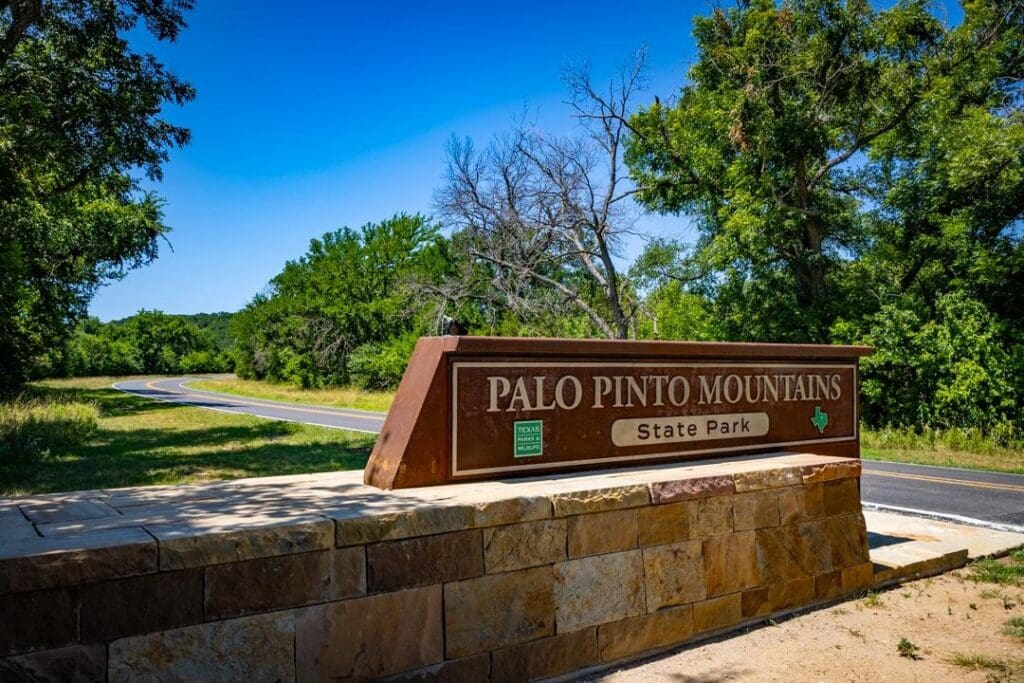
A stone gateway flanks both sides of the winding road that leads to this incredible adventure, warmly welcoming visitors to Palo Pinto Mountains State Park.
Those who have read “Painted Pole” by Barbara Belding Gibson, granddaughter of one of the founding families of the Possum Kingdom Lake area, will recall her detailing how the railroad originally was meant to pass through the city of Palo Pinto. Disagreements caused the builders to divert the track south, which helped shape the future of both Palo Pinto and Strawn.
To get to the park, visitors have to pass through Strawn, which found its way into the scripts of Taylor Sheridan television productions. Downtown was transformed for the Western TV miniseries “Lawmen: Bass Reeves,” while Mary’s Café later appeared in the TV series “Landman.” From Strawn, it’s a simple road out of town, and after a while the road eventually begins to wind, with a stone gateway on either side to welcome park guests.
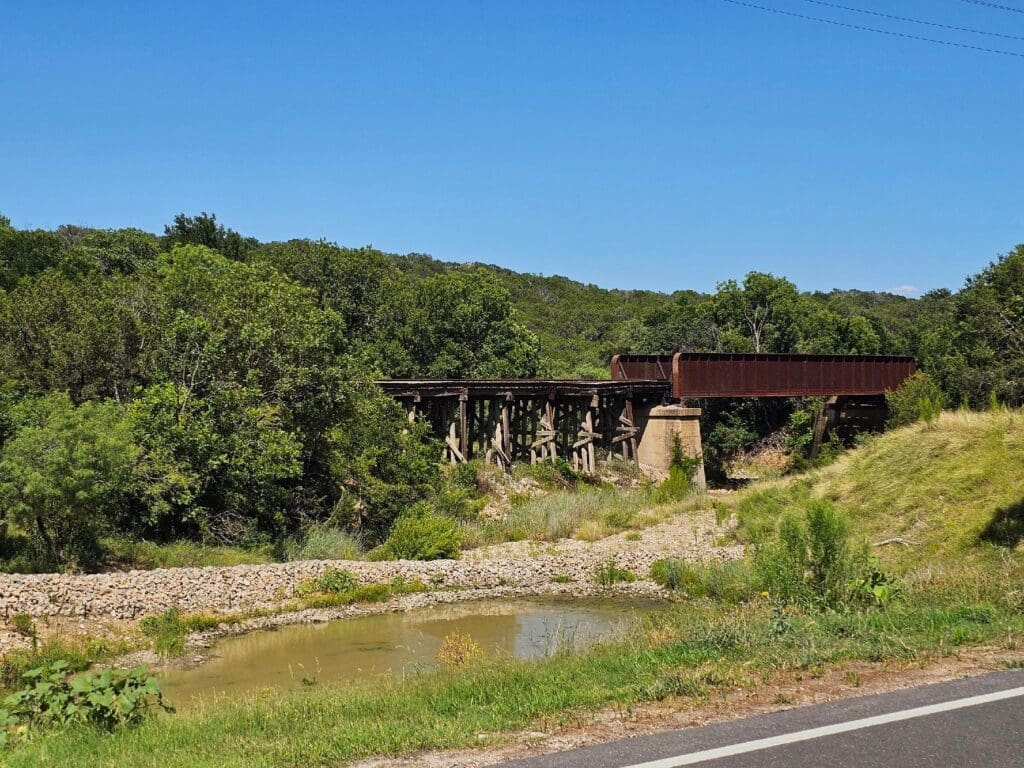
As visitors venture further into the park, they will notice an old railroad trestle on the right, serving as a poignant reminder of the area’s rich history.
Passing the stonework, it’s still a little farther to the ranger station, where visitors check in. There’s ample parking for cars, trucks and recreational vehicles. PK Westside native Dean Durham is one of the rangers who welcomes visitors to the park, checking them in, handing out maps and pointing out several key places worth seeing.
As guests drive beyond the ranger station and deeper into the park, there’s an old railroad trestle on the right that’s a reminder of the history within the area. The road cuts through the hills, leading higher to scenic overlooks and several parking locations.
Those who follow the road to the end will reach the boat launch, picnic area and viewing pier, where there’s a fish-cleaning station, bathrooms, and a kayak and canoe launch.
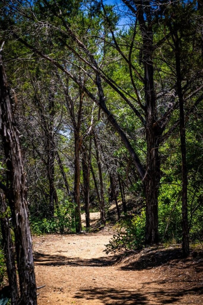
The PK area’s oasis, stretching southward, provides a beautiful nature connection. The park offers a balanced range of activities for a day trip, but a full weekend is recommended for a deeper exploation of its offerings.
Tucker Lake continues to serve as an emergency water source for Strawn. It’s a no-gas, no-wake lake, making it ideal for sweat-powered watercraft such as paddleboards, kayaks and canoes. Without gas-powered boats and constant wakes disturbing the lake bottom and shoreline, the water stays a bit clearer.
The trails are wide and nicely laid out, and they’re enjoyable to travel. Trail rules vary, with hikers, bikes and horses allowed on different routes. Raptor Ridge Trail is a half-mile accessible trail designed for visitors with mobility limitations, including those using wheelchairs or similar devices. The facilities, viewing pier and several other areas, including Raptor Ridge, are clearly designed to help visitors with mobility limitations participate in and experience the park.
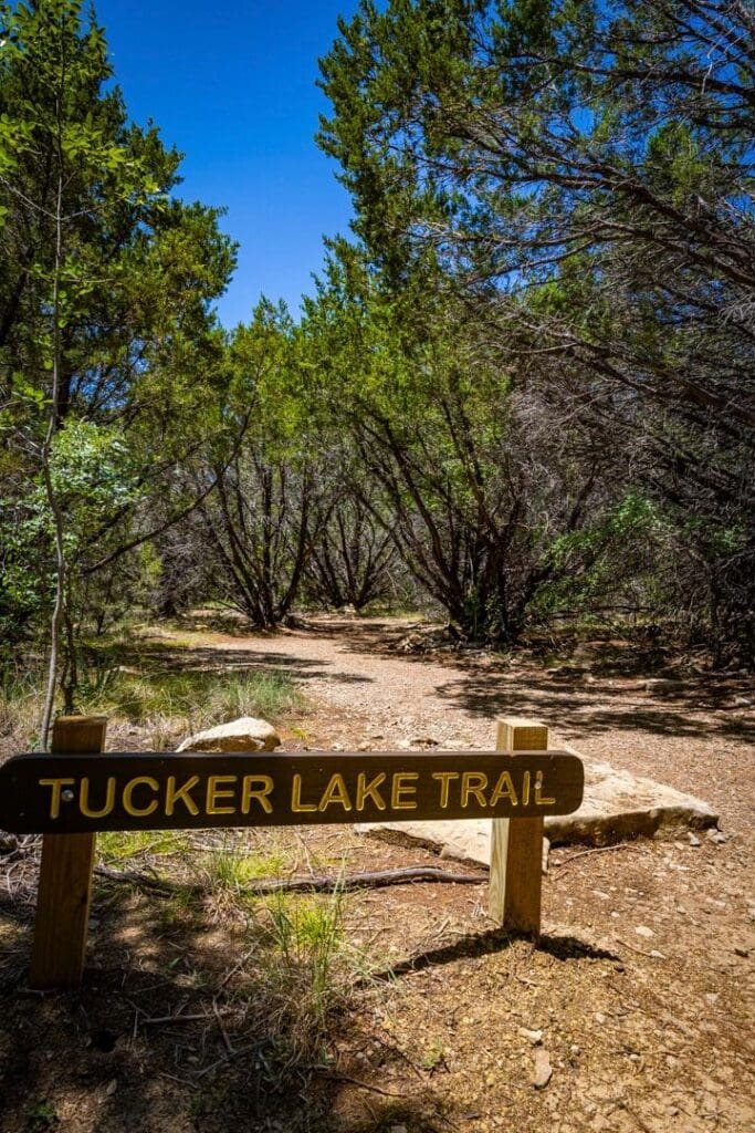
The Tucker Lake Trail, meanwhile, offers almost everything adventurous hikers could want. The path winds through the hills around the lake, rarely giving visitors a long view down the trail, and it constantly leaves them to ponder what might be around the next curve. Boulders appear in various places, heightening the anticipation of what’s waiting beyond each edge.
Hikers on this trail begin with expansive views from the hilltop, then can watch the trees change the entire feel of the environment as they wind down the western side of the lake to the riverbank, crossing the creek that feeds it. At the shoreline, they can enjoy the cooler temperatures close to the water.
From there, the path climbs as it veers away from the lake and follows another creek. At the break in the tree line is a limestone- and mesquite-filled valley, and those who aren’t observing closely might walk right past the limestone sinkhole.
Hikers swinging back toward the lake will see two wet-weather springs coming out of the hillside and crossing the trail. It’s also here that the oak trees change, providing an experience of the altering flora and fauna. The trail circles the lake, offering multiple vantage points similar to some of the Brazos River Authority parks at PK.
Near the end, the trail crosses the dam at Tucker Lake. Below the dam on the right is the camping area, which also includes small horse corrals for those wishing to experience the park on horseback. Across the spillway near the boat-launch facility is where hikers can find the first bathroom since beginning the trail.
The loop can be completed by taking Ben’s Trail from the boat launch back up the hill, to the parking lot and the starting points for Tucker Lake and Raptor Ridge trails. This section has the most obvious elevation change of the paths mentioned. The full Tucker Lake Trail and Ben’s Trail loop covers roughly 5.3 miles.
For a day trip, it’s the perfect distance for visitors to reward themselves with a world-famous chicken-fried steak at Mary’s on the way home, or to stop at Mel’s Diner in nearby Mingus.
For the more adventurous, there is the Texas & Pacific Trail, named for the railroad company that surveyed and cut a route through these mountains more than a century ago. The 5.7-mile trail – roughly 11 miles round trip – reaches some of the park’s most remote areas, paralleling the railroad and passing the old Ragsdale hunting cabin.
The beauty of Palo Pinto Mountains State Park is how it sits at the edge of the Cross Timbers, with prairie and plains coming in from one direction, and mesquite and junipers coming from another. Somehow the oasis people often attribute to the PK area extends south, creating another unique and beautiful place to experience nature.
The park has just the right amount of activity to make it worth a day trip, but visitors who are looking for more to explore should take a full weekend to experience the park in its entirety.
At the end of the trail, it crosses Tucker Lake dam, with a camping area and horse corrals on the right for horseback exploration. Hikers will find the first restroom near the boat launch area across the spillway.
